-
About Homer
-
- Americans with Disabilities Act Compliance Program City Campgrounds Community Recreation Hickerson Memorial Cemetery
- Library Parks & Trails Public Safety Fire Police Emergency Information
- Events & Activities City Calendar Library Calendar Recreation Calendar Doing Business in Homer Sister City Program Coast Guard City
-
- Departments
- Government
- How Do I?
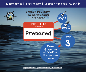
Know if you live or work in the tsunami zone
In the most recent inundation maps created by the Alaska Earthquake Center at the University of Fairbanks, the maximum inundation in Homer could be 50 feet. It’s hard to tell where 50’ elevation is, so here are some ways you can figure it out if where you live, work, or play is in the danger zone:
Find your location on the maps below or on the interactive tsunami inundation map on the Alaska Earthquake Center’s website https://earthquake.alaska.edu/. The interactive website map includes both flow depths and inundation boundaries.
The Homer Police Department, upon request, will pay a visit and determine your property’s elevation. To set up a visit, call HPD at 907-235-3150. There are also apps that can determine your elevation.
Click here to view the Homer Inundation Map
Click here to view Tsunami Danger Zones and Evacuation Routes


